Gallery
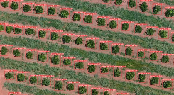
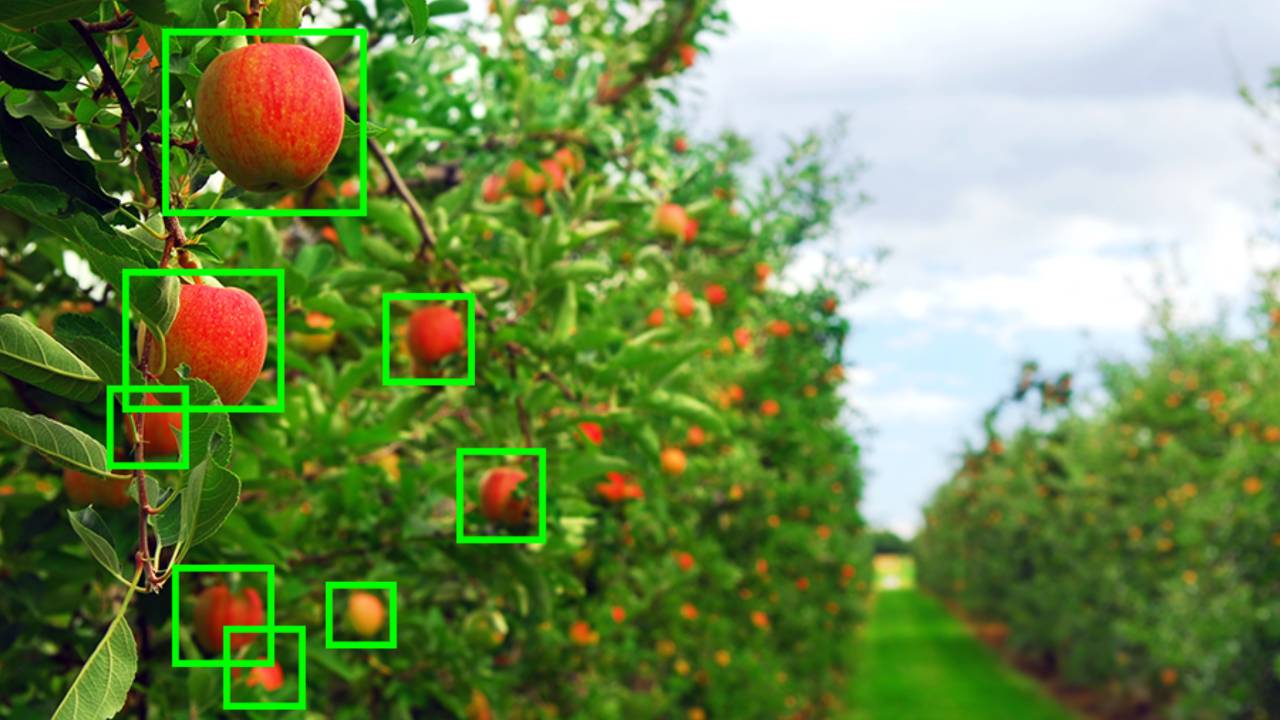
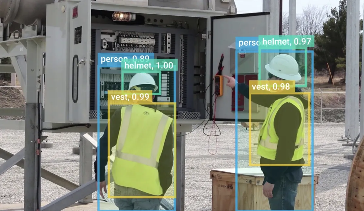


Our Computer Vision & AI solutions transform aerial imagery into actionable insights. We leverage deep learning, object detection, and semantic segmentation models to analyze real-world features such as vegetation, construction progress, terrain change, and infrastructure assets.
From precision agriculture to smart city planning, our AI-driven analytics help organizations make data-backed decisions with unprecedented accuracy.