Who We Are
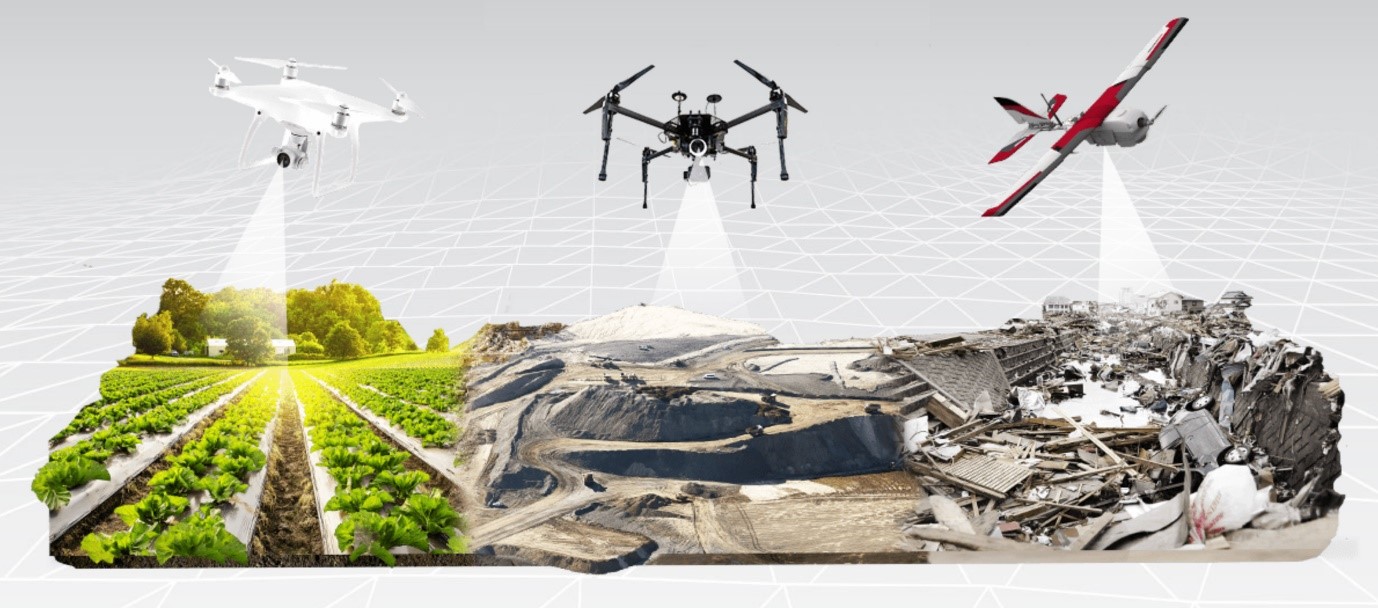
Bushwick Drone Company is an emerging industry leader in LiDAR mapping, aerial surveying, and geospatial analytics. We combine cutting-edge drone technology with advanced data processing to provide precise mapping solutions across land, coast, and construction environments.
Our team includes FAA-certified drone pilots, geospatial analysts, and remote sensing experts with years of experience in environmental monitoring, topographic modeling, and 3D reconstruction.
Whether it’s for research, engineering, or infrastructure, we ensure accuracy, reliability, and compliance with industry standards.